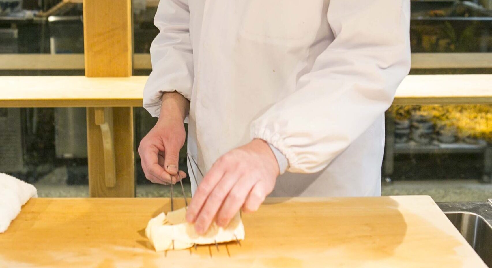
Trail Ancient Highways and Mountains.
Nakasendo and the paths beyond.
The Nakasendo and other old highways pass through various areas in the mid-mountainous region, leaving behind the footprints of different eras and travelers.
With a trail guide, this special experience can be experienced in a deeper and more engaging way.
Nakasendo
A key highway built in the Edo period connecting Edo and Kyoto.
The Nakasendo, developed in the beginning Edo period (1603), traverses the mountainous region in the center of Japan.
During the Edo period, feudal lords all over Japan needed to visit Edo (present-day Tokyo) on a regular basis, and they often took the Nakasendo, which had no large rivers to disrupt travel schedule.
We will relive the journey along the highway, where will be able to touch the culture that has continued since the Jomon period (over 10,000 years ago) has accumulated like a geological formation under the inland natural environment, along with the sentiments of ancient travelers.
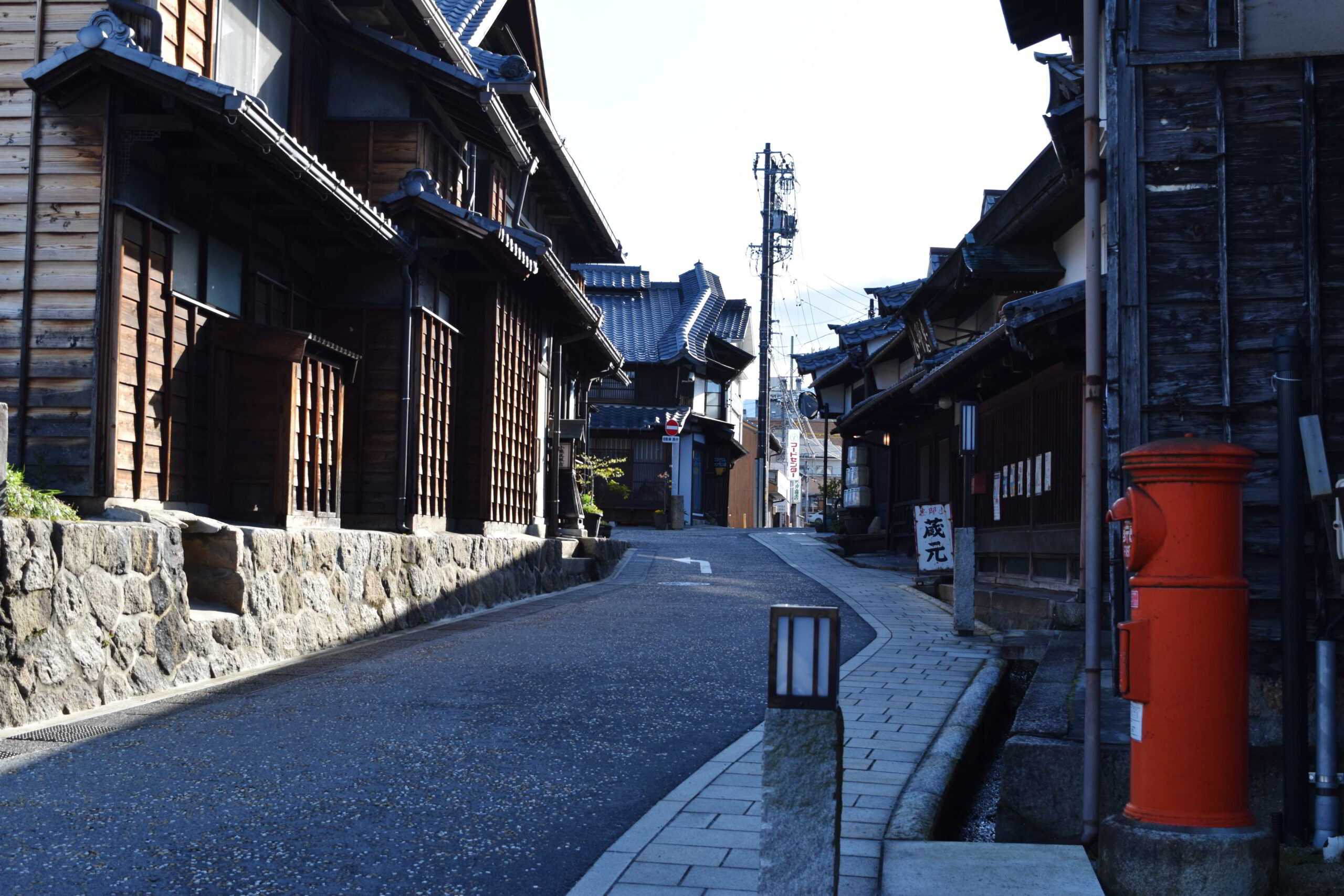
Tosando
The road before the Nakasendo was developed, an ancient steeper mountainous route.
The Tosando was a road that had been used to connect the east and west before the Nakasendo was developed in the Edo period. It ran from Kyoto over the Misaka Pass in Nakatsugawa (locates nearby the Mt. Ena), heading towards Ina Valley (south of Kiso Vallery, across the Kiso Mountains), passing through Suwa and Matsumoto, and then present-day Gunma to Tagajo (Miyagi) in the Tohoku region.
It is said that the road was developed in the 8th century, but it has likely undergone various changes before and after that.
In ancient times, much of the land was unexplored, and the journey was extremely dangerous. Misaka Pass is home to a rare ruin, even for Japan, of a pass ritual facility where prayers were made for safe travels, and ceramics, jewelry and other relics have been discovered there.
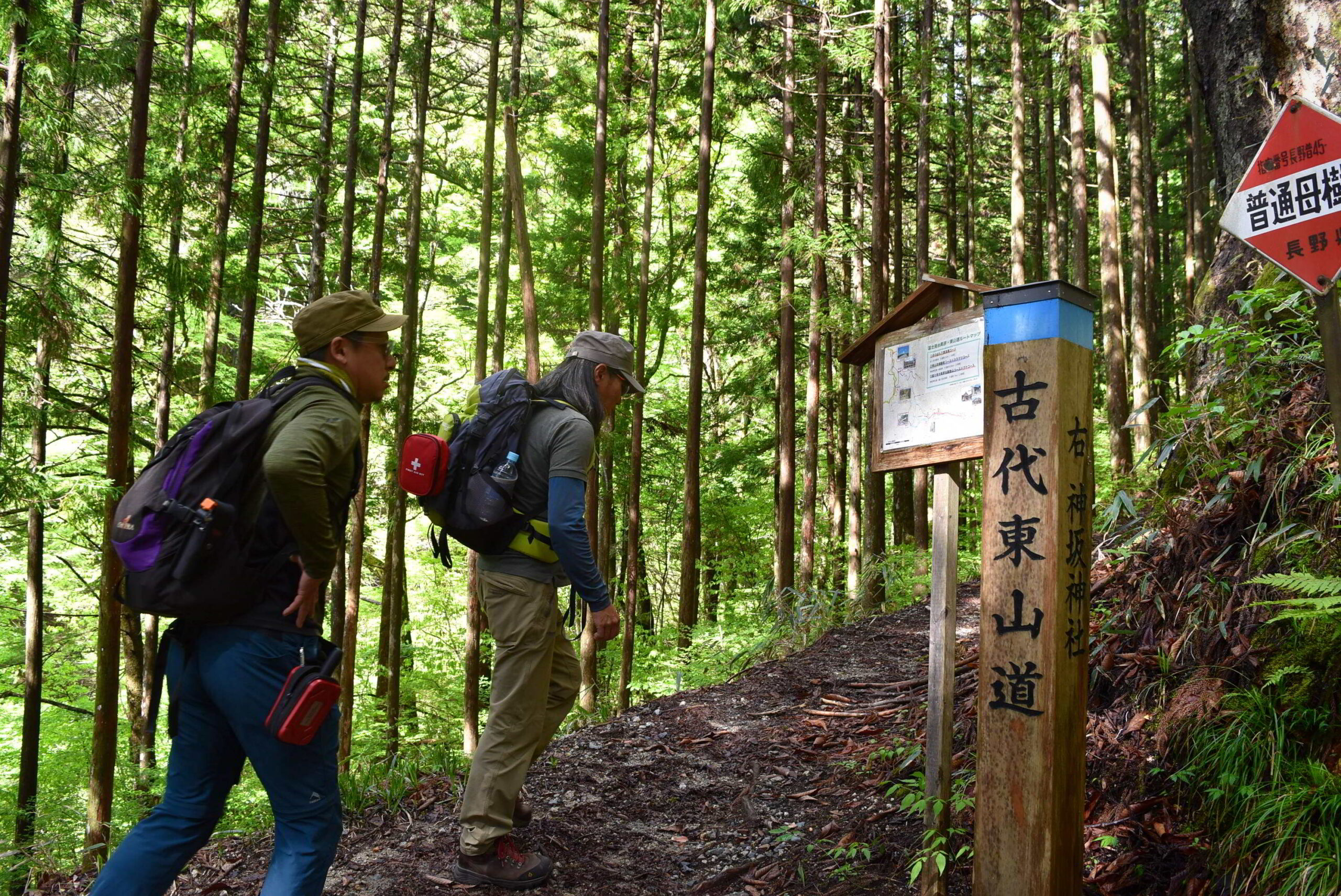
Koshu-kaido
A road that passes through the Yatsugatake foothills cultural zone and leads to Edo.
The Koshu-kaido, runs from Nihonbashi to Shinjuku, then Kofu, and finally connects with the Nakasendo Road in Shimosuwa-juku, which today is traversed by the Chuo Line train.
During the Edo period (1603-1867), the main highway was controlled by the Edo shogunate, and feudal lords from all over Japan who visited Edo on the pilgrimage were restricted from passing through this highway, which connected Suwa to Edo in the shortest possible time, and were allowed to pass through with their horses and goods important to the shogunate, symbolized by the Ochatsubo-Dochu (a procession carrying tea from Uji to Edo).
The area from Suwa to Kofu forms a cultural zone at the foot of Mt. Yatsugatake with a multilayered accumulation of beliefs, lifestyles, and ruins from each period since the Jomon Period, and has a unique culture.

Hida-kaido
Ancient road leading to Hida Takayama, also known as the birthplace of Kiso horses.
Hida Kaido is the general name for the road leading to Hida Takayama. The road extends from three post towns; Ota-juku, Nakatsugawa-juku, and Fukushima-juku to Takayama. In particular, the road extending to Kiso was also called the “Kamakura-michi (road)” because it was the road leading to Kamakura from Takayama.
In fact, it was used as an important highway even before the Nakasendo was opened, and in addition to political and military use, salt and marine products from the Hokuriku (north shore) region were also transported along it.
In modern times, there is an anecdote about a female workers from Hida that went to work at a silk mill in Suwa and walked along the steep, snow-covered road.
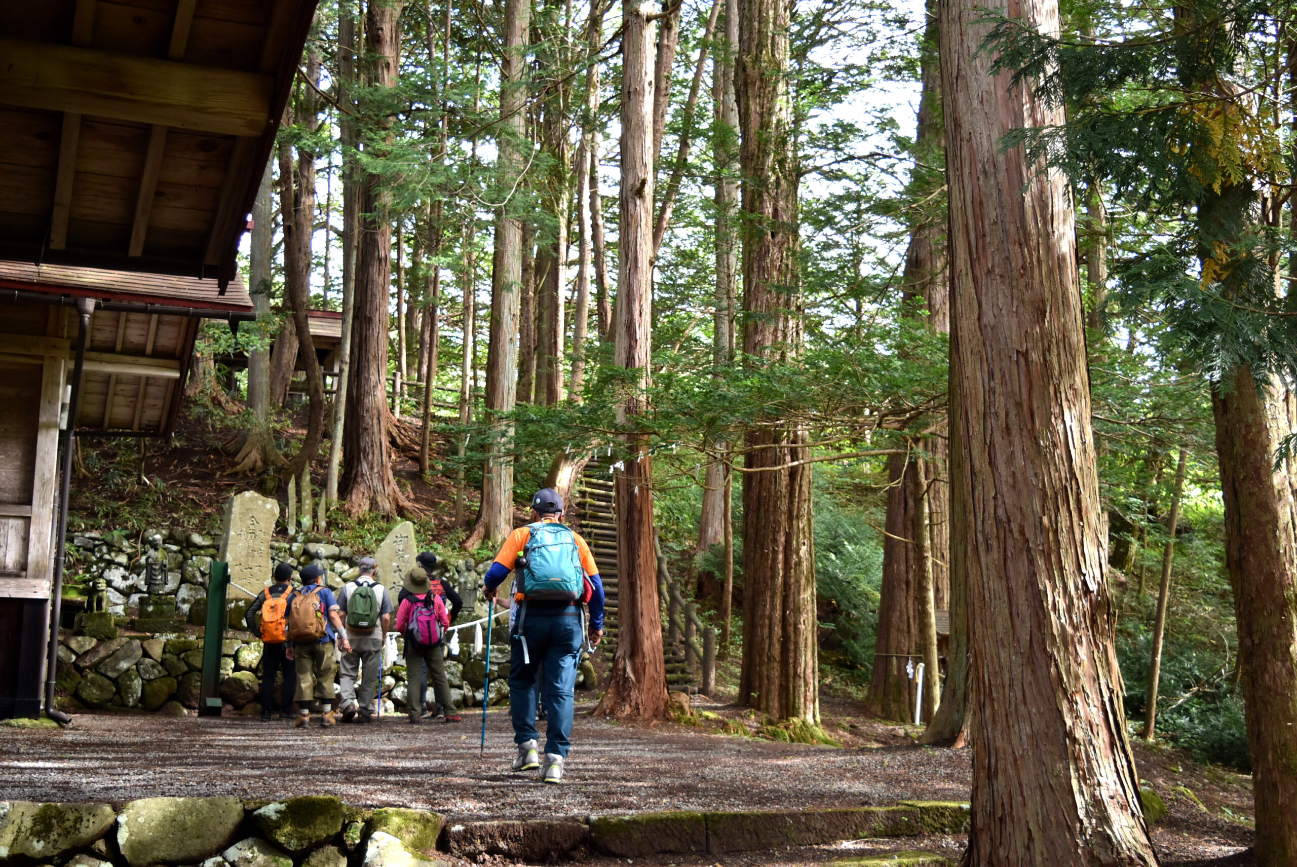
Shita-kaido
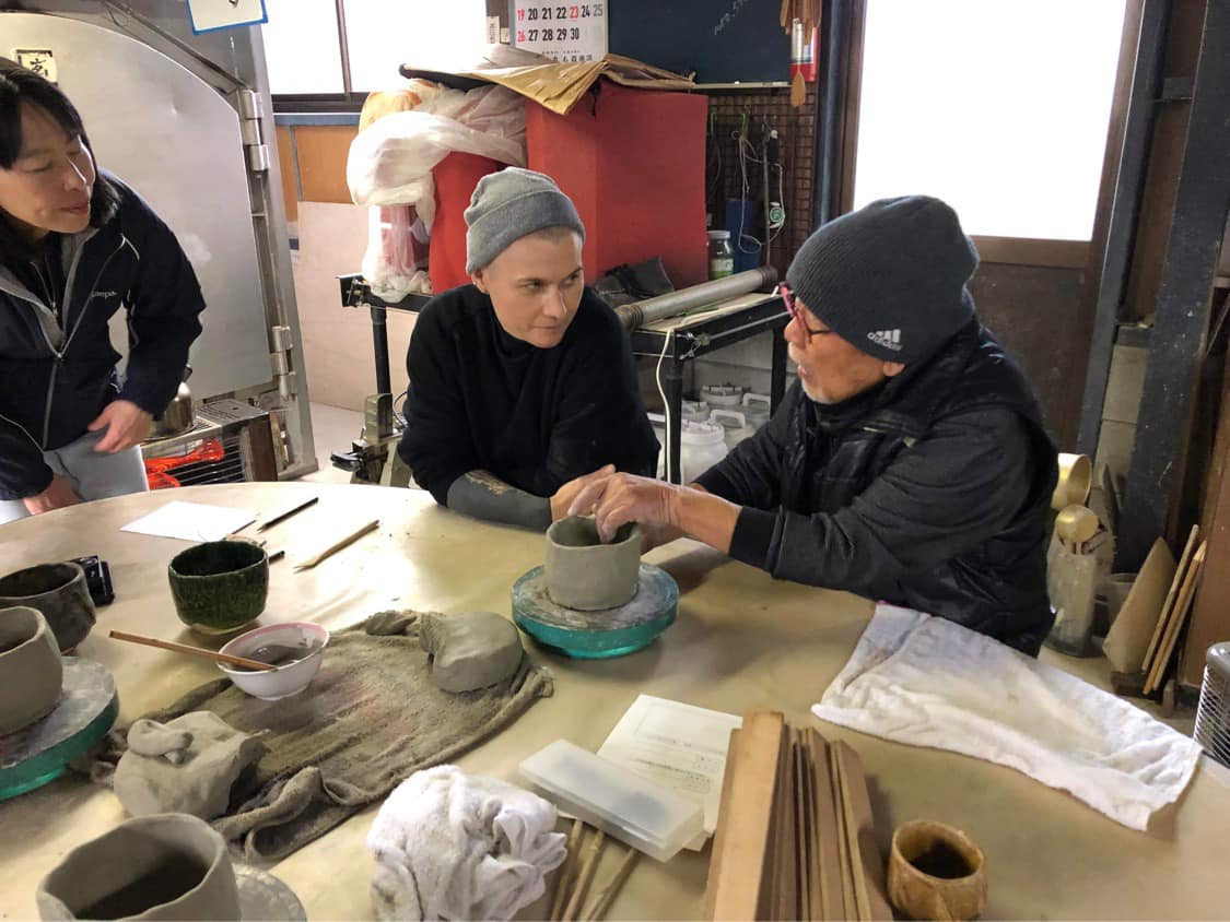
The road branches off the Nakasendo from Oi-juku and heads toward Nagoya. Passing through the Mecca of Japanese pottery.
The Shita-kaido was an important road from Oiwake (branch), beyond Oi-juku, through Mizunami, Toki, and Tajimi to Nagoya.
This highway passed through the Mino ware production area, the center of pottery production in Japan, and is closely associated with pottery.
Mino ware is known for its abundant natural resources and “Momoyama pottery,” which began in the 8th century and developed in the late Muromachi period (the middle of 16th c.), coinciding with the origins of the tea ceremony, and supporting Japan’s unique culture and beauty. The production of ceramics and porcelain as an industry has also developed, and today accounts for more than half of Japan’s total production.
Route in the side of gentle mountain range created by the Byobuyama Fault and the unique mountain village scenery of east side of Mino region.
Kodo Kisogoe-touge / Shirasu-touge Pass
The road before the Nakasendo was developed, an ancient steeper mountainous route.
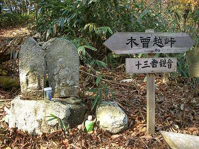
The Kodo Kisogoe-touge and Shirasu-touge passes through forest roads in Kiso, in the southern part of Ontake, have been connecting southern Hida and Kiso since before the Middle Ages, and there are records that the Miki clan of Hida passed through them when they attacked the Kiso clan in Kiso in 1504.
These mountains area, called Kiso (side on Nagano pref.) and Uragiso (side on Gifu pref.), are known for their high quality timber, and were strictly controlled by the Owari clan, especially during the Edo period.
Even today, the area produces high quality timber as an active forestry area, and a protected area has been established for the production of cypress trees through natural renewal, protecting the mountains for generations to come. These trees are used for the Ise Jingu shrine, important shrines and temples, or for castles and other important cultural assets.
Climbing the Kodo Kisogoe-touge from the Gifu Prefecture side, you will reach Doai, where an inn is still in operation today. This is where lumberjacks called “sommeliers” used to live and work at least in 50 years ago.
Mount Ontake Hiking Route
The road before the Nakasendo was developed, an ancient steeper mountainous route.
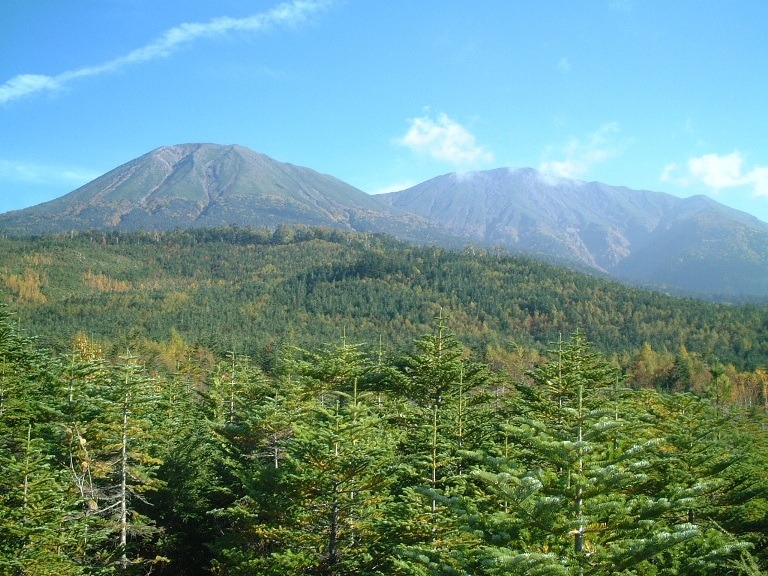
Ontake is symbolic and very unique to the inhabitants of the Kiso, Higashi-Mino, and Hida regions.
In terms of faith, mountain worship and Shugendo (mountain asceticism) which mixed up with Buddhism and mountain worship, developed over a long period of time and is still alive today.
The natural environment is also interesting. In the southern part of Mt. Ontake, moist warm air from Ise Bay and the Nobi Plain, which spreads around Nagoya, flows into Mt. Ontake and the Hida Mountains and cools them, bringing a lot of precipitation and supporting the growth of high-quality Hinoki cypress trees.
On the other hand, Ichii (yew) and birch trees grow thickly in the alpine zone in the north, and crafts such as Ichii Itto-bori carving are made in Takayama.
In the northeastern part near Mt. Ontake, the blessings of Ontake brings Gandate gorge with its beautiful rock walls formed by lava flows, and Nigorigo Hot Spring with its sodium sulfate and iron content.
The mountain route from Fukushima to Nakatsugawa via Kaida, where Kiso horses are produced, Otaki, the gateway to Ontake, Nigorikawa Onsen, Gandate gorge, and the forestry area of Ura-Kiso is also very attractive.
‘Shukuba’ – Post Towns on the Nakasendo.
Base camp for discovering areas connecting Nakasendo.
The Nakasendo and other old highways pass through various areas in the mid-mountainous region, leaving behind the footprints of different eras and travelers.
With a trail guide, this special experience can be experienced in a deeper and more engaging way.
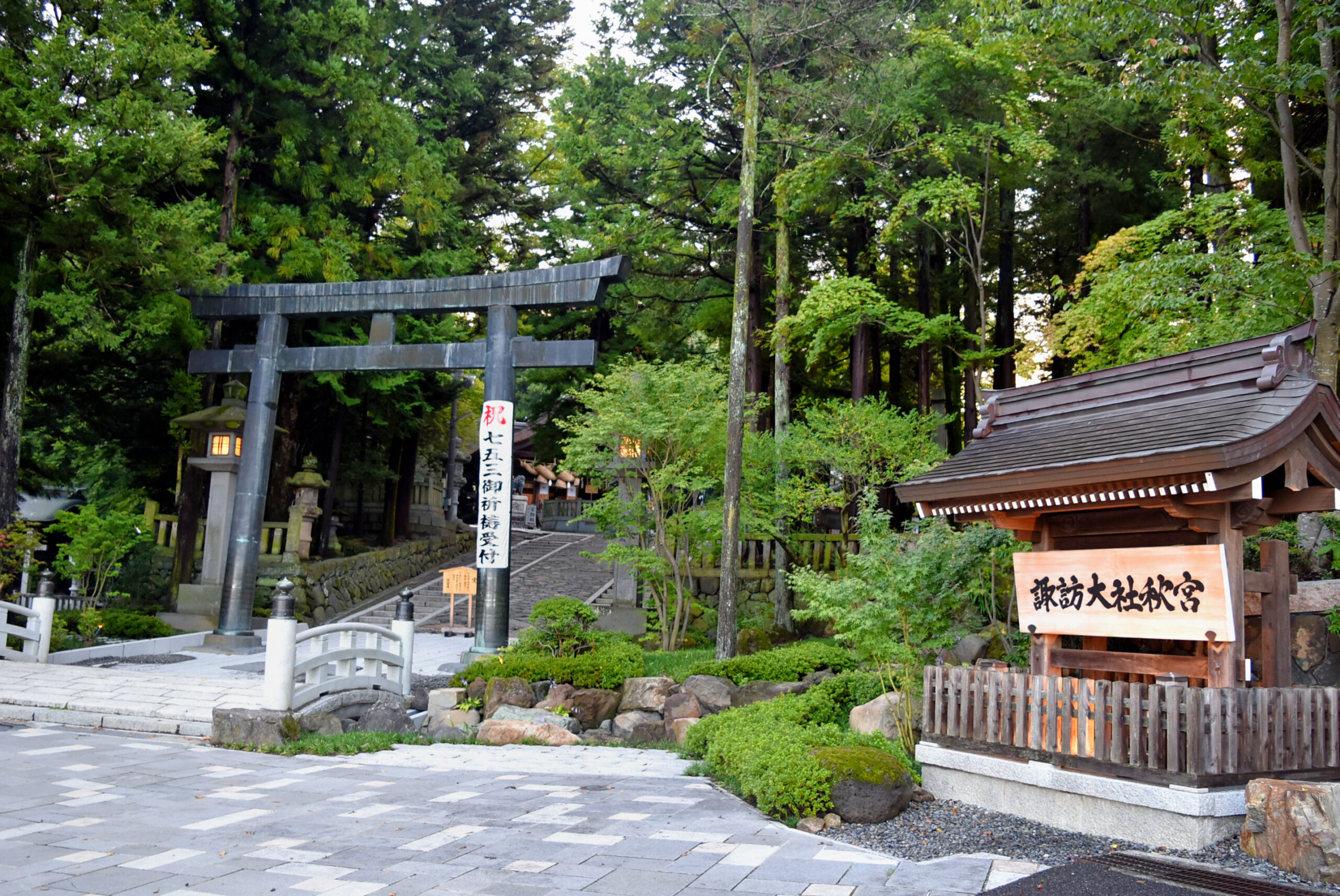
Shimosuwa
Called navel of Japan, where history has been accumulating since the Jomon period.
Suwa’s history is multi-layered and extremely complex.
Geologically, it is located at the central point where the Itoigawa-Shizuoka Tectonic Line, which runs vertically through the center of Japan, and the Median Tectonic Line, which stretches across to the west, intersect, and the eastern face forms an area called Fossa Magna, a bedrock belt formed by upheavals, etc. caused by volcanoes in the fissures of older strata.
It is believed that people began to live here between 10,000 and 8,000 years ago during the Jomon Period, and those ruins remain.
Since then, repeated invasions and reconciliations by various forces have led to the form of Suwa today. In the process, various elements, beginning with Jomon aministic beliefs, followed by the fusion of Shintoism and the influence of the Yamato Imperial Court, have accumulated to create the beliefs of Suwa-taisha, which consists of four large shrines, and the custom of the Onbashira Matsuri Festival.
During the Edo period (1603-1867), Suwa also prospered as a transportation hub connecting the Nakasendo and Koshu-kaido Highway, and in particular, Shimosuwa-juku, the only post town on the Nakasendo with a hot spring, hosted many members of the royal family, feudal lords, and travelers.
Shiojiri
From a transportation hub connecting east, west, north, and south to a wine-producing valley.
Shiojiri-juku is the connection point between the Sanshu-kaido Road, which leads to the Pacific Ocean side, and the Sengoku-kaido Road, which leads to the Sea of Japan side, and is a strategic point of transportation with key roads leading from east to west, north to south.
Therefore, according to the 1843 “Nakasendo Shukuson Daigaicho”, there were 75 inns in the area, the second largest number of inns in the entire Nakasendo.
One theory about the origin of the name ‘Shio-Jiri’ is that it is the place where sea salt (Japanese word calls “Shio”) from the north and south arrives.
Shiojiri is one of the leading wine-producing areas in Nagano Prefecture, accounting for about 80% of the prefecture’s wine production. Winemaking began in 1897 (grape cultivation began in 1890), and the city was quick to introduce European varieties such as Merlot and Chardonnay.
Later, when “Chateau Mercian Shinshu Kikyogahara Merlot 1985” won the Grand Gold Prize at the Ljubliana International Wine Competition in 1989, the region became known as a world-class wine producing region.
Narai
The post town developed along with the lacquerware and woodworking industries.
Narai-juku is said to have been crowded with many travelers with the difficult Torii Pass to the south.
Much of the abundant timber available in the neighborhood had to be delivered to the ruling shogunate and the Owari Clan, but some of the valuable timber was used to nurture woodworking techniques such as bending, combs, and Kiso lacquerware, which were sold as far as Edo, Osaka, Kyoto, and other large cities.
The bustle of Narai-juku, and the Hirasawa hamlet next to, was greatly influenced by these industries, and these workshops and stores, as well as merchants for business transactions, gathered here..
Fukushima
A strategic point where the Sekisho (barrier to control passage through the region) and Daikan-sho (government office) were located.
Fukushima-juku is a strategic point in Kiso where Fukushima Sekisho (barrier to control passage through the region) is located. Fukushima Sekisho is located approximately halfway along the Nakasendo road, and for about 270 years since its establishment, it has been cracking down on “Iriteppou” (bringing guns into Edo for the purpose of rebellion) and “Deonna” (escape to the country of a daimyo’s wife or daughter, which also functioned hostage).
The Kiso Daikan-sho was established by the Shogunate (and the Owari domain from 1615) as a supervisory body to govern the Kiso region. The Yamamura family, descendants of the Kiso clan, the rulers of the Kiso region in the Middle Ages, were commissioned by the Shogunate and the Owari domain from generation to generation.
The Yamamura family also oversaw and played an important role in the Fukushima barrier station and the Nakatsugawa deputy magistrate’s office.
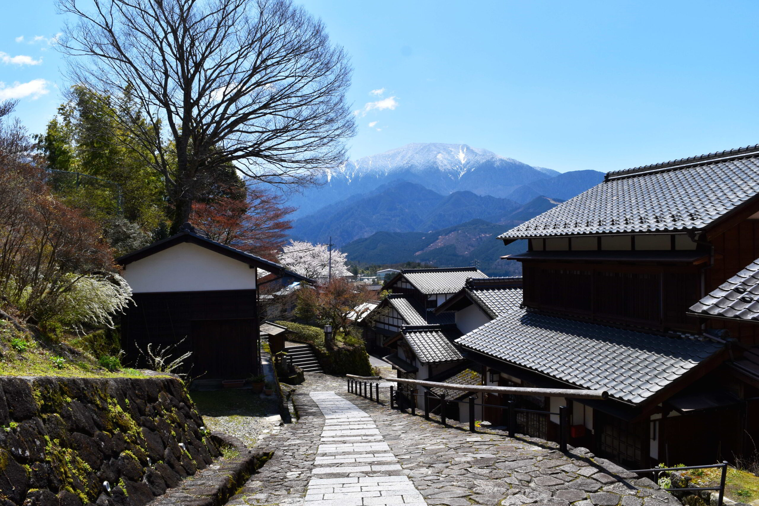
Tsumago – Magome
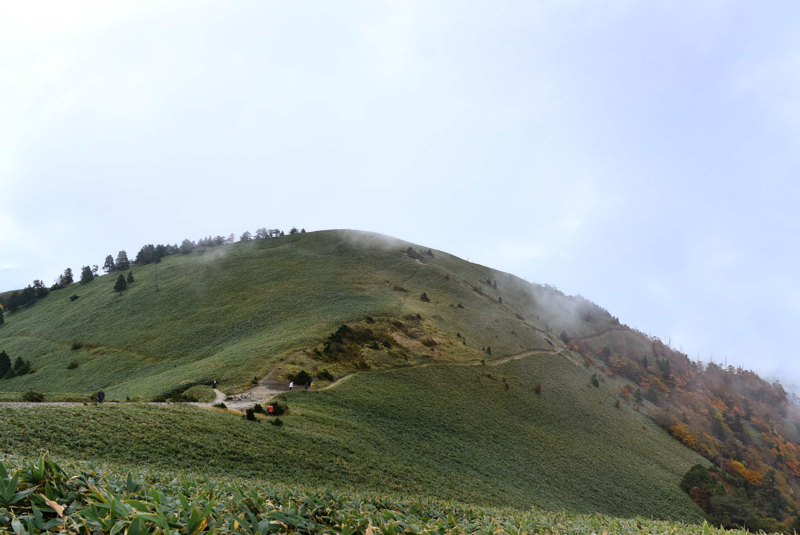
The expansive view of Mino from the Kiso mountain road is a highlight of the Nakasendo Trail, where you can relive the emotions of travelers.
The Nakasendo Road from Tsumago to Magome is one of the highlights of the Nakasendo Trail. Tsumago-juku, which retains the atmosphere of an Edo period post town, and Magome-juku, which has regained its traditional landscape after fire damage, each has its own unique flavor.
The emotion one feels when the steep and lonely mountain roads of Kiso give way to the rolling terrain and open vistas of Nakatsugawa basin in the foothills of Mt. Ena is probably the same one people have experienced throughout the ages.
The atmosphere of these post towns at the end of the Edo period was depicted in the novel “Yoake Mae” means ‘before dawn’ by Shimazaki Toson, a famous novelist from this area, and in the middle of Showa period (the middle of 19c), a movement to preserve the townscape was started by the residents expanded toward all over the Japan from this area.
Nakatsugawa
Entrance to Mino, exit to Kiso.
Nakatsugawa-juku would have been a base camp for travelers on their way to or from the steep mountain roads of Kiso and Hida.
This was true even during the period of the Higashiyama Road (before the Edo period), which was preceded by the Misaka Pass.
The Nakatsugawa and Ena areas form a unite cultural zone under the bedrock of the granite belt and within the geographical unity of the Ena foothills. It is a food and lifestyle culture nurtured in the gentle rural mountain landscape, while incorporating the cultural influences of the San-en-Nanshin region (cultural zone including west Shizuoka, southern Nagano, and south/middle east Aichi), which is connected to the Pacific Ocean, and Hida, which is connected to the Sea of Japan, especially chestnut confectionery is known in the Japan wide.
Then there is the culture of jishibai, which began as a dedication to a shrine deity.
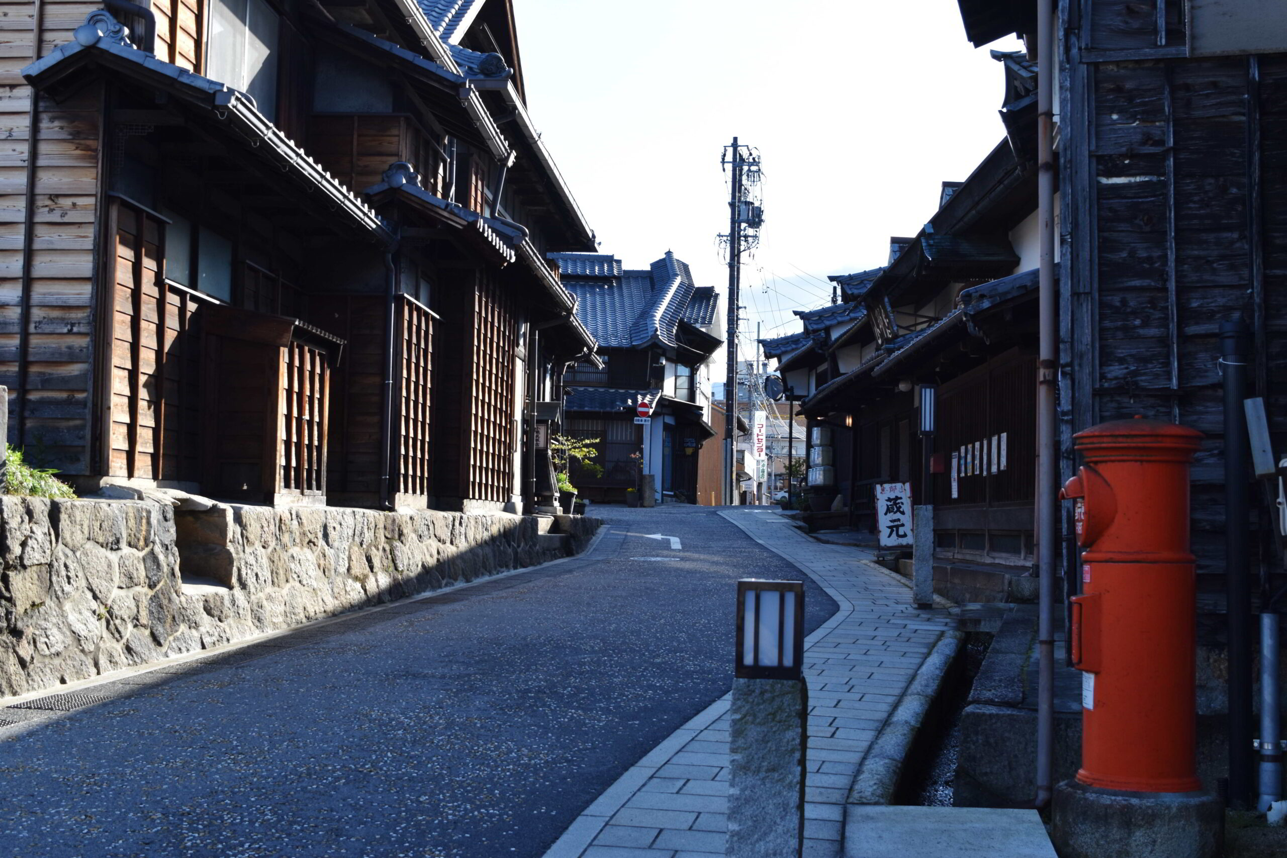
Oi
Branch of Nakasendo: Take Nakasendo to Kyoto, or Shita-kaido to Nagoya.
Oi-juku is a more gentle road. The surrounding area has a rich natural environment, with peaceful terraced rice paddies in Sakaori, Tochikubo, and Tomida. Iwamura, the site of a mountain castle from the Middle Ages, has still alive an old castle town. Ena Gorge, a spectacular view created by the Kiso River flowing shaved through a granite belt.
The rural landscape and its way of life are still embodied and cherished in Ena City, centering on Oi-juku.
Walking through Oi-juku toward Kyoto, you will reach Makigane Oiwake, a junction with the Shita-kaido Road heading toward Nagoya. Many people took this highway to Nagoya, passing through the production area of ceramics and porcelain.
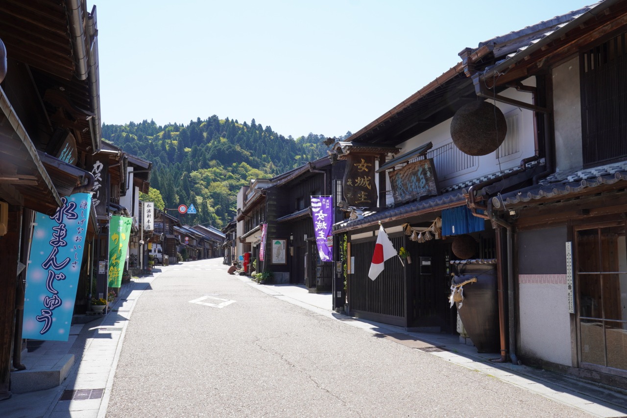
Ota
“Ota no Watashi” (ferryboat transaction in Ota), flow of Kiso River, and a scenic spot called the ‘Nihon Rhien’
Ota-juku inevitably prospered as a strategic point of transportation where the Nakasendo and the Hida Kaido, the road from Hida, and the Kiso and Hida Rivers converged.
It was also one of the few places along the Nakasendo where travelers were stranded by floods and other problems as they crossed a cross point of two large rivers, and was said to be one of the three most difficult points along the Nakasendo, along with the Usui Pass and the Kiso-no-kakehashi crosspiece bridge.
This was also an important place for the Owari Clan during the Edo period (1603-1867), as the Kawanamimanbasho, which managed water transportation, including lumber from upstream, and the Ota Daikansho, which governed the area, were established here.
This area also called ‘Nihon Rhien’ named by geographer Shigetaka Shiga in 1913 because of its resemblance to the Rhine River flowing through central Europe, the area has long flourished as a tourist destination for river cruising. And also designated as Hida-Kiso River Quasi-National Park.
Unuma / Inuyama
The traditional town people’s culture centered on the national treasure Inuyama Castle and the Kaido (historical highway) culture centered on the Kiso River and Unuma-juku.
Unuma-juku, located on the opposite bank of the Kiso River from Inuyama, is also an area with a strong historical and cultural heritage, from Inuyama Castle, a national treasure, to the historic castle town and the streets of the post town, to the traditional fishing demonstration called ‘Kisogawa Ukai’ (fishing with cormorants), and the traditional festival called the Inuyama Festival which is registered UNESCO Intangible Cultural Heritage as a one of festival uses Dashi (a kind of float with a variety of colorful decorations in festival parades).
Inuyama, in particular, also has a strong local dialect called Owari-ben, which makes you think you are back in time in the castle town.
From here, 15~20 km to the north, you will reach the production area of Japanese swords, kitchen knives, and washi paper. The production technique of washi, called Mino washi, is also registered as a UNESCO Intangible Cultural Heritage as a traditional Japanese papermaking technique.

Foodways.
The unique foodways that was brought by the geographical environment and the old highways has small differences with acrossing mountain passes.
—
—
—
—
